 vesseltracker.com
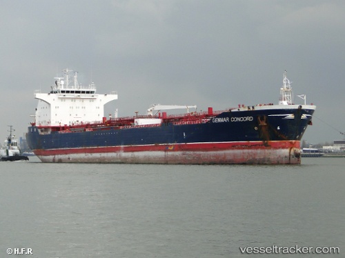
 INFINITY AQUILA
Current Status
Where is the vessel?
INFINITY AQUILA is currently in 105 nm SE of Polychnitos Lesvou, based on AIS data received about 1h ago.
Latest AIS update:
Current position: 33.06500° N, 27.85167° E (105 nm SE of Polychnitos Lesvou)
Average speed (last 7 days): Loading…
Average speed (last 30 days): Loading…
Vessel profile: INFINITY AQUILA is a Oil/Chemical Tanker with dimensions m x m.
This page combines live AIS, route history, probable destination signals, nearby traffic, and port activity for practical vessel monitoring.
The current position of vessel INFINITY AQUILA is 33.06500 lat / 27.85167 lng. Updated: 2026-04-18 11:47:06 UTCNearest reference points:
- 91 nm SE of Polychnitos Lesvou
- 129 nm NW of ABU QIR
- 108 nm S of Kastellorizou (ex Megísti)
Currently sailing under the flag of Liberia ![]()
Details:
Live Vessel INFINITY AQUILA Analytics (details, animations, etc.)
Recent AIS points (UTC):
2026-04-18 06:11:10 UTC · 33.36667, 26.56333 · SOG 12 kn · COG -1°2026-04-18 07:36:18 UTC · 33.29497, 26.89146 · SOG 11.8 kn · COG 111°
2026-04-18 09:32:04 UTC · 33.18167, 27.32500 · SOG 12 kn · COG -1°
2026-04-18 11:47:06 UTC · 33.06500, 27.85167 · SOG 13 kn · COG -1°