 vesseltracker.com
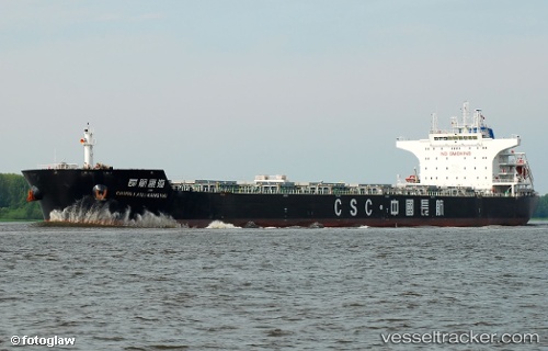
 LC PORTHOS
Current Status
Where is the vessel?
LC PORTHOS is currently in 29 nm SE of Bolt Head, based on AIS data received less than 1h ago.
Latest AIS update:
Current position: 49.90041° N, 3.22618° W (29 nm SE of Bolt Head)
Average speed (last 7 days): Loading…
Average speed (last 30 days): Loading…
Vessel profile: LC PORTHOS is a Bulk Carrier with dimensions m x m.
This page combines live AIS, route history, probable destination signals, nearby traffic, and port activity for practical vessel monitoring.
The current position of vessel LC PORTHOS is 49.90041 lat / -3.22618 lng. Updated: 2026-04-20 19:52:52 UTCNearest reference points:
- 16 nm SE of Brixham
- 23 nm NW of Saint Sampson
- Near Brixham
Currently sailing under the flag of Liberia ![]()
Details:
Live Vessel LC PORTHOS Analytics (details, animations, etc.)
Recent AIS points (UTC):
2026-04-20 16:53:30 UTC · 50.08020, -2.40552 · SOG 13.9 kn · COG 251°2026-04-20 17:37:04 UTC · 50.03937, -2.64472 · SOG 12.4 kn · COG 253°
2026-04-20 19:40:14 UTC · 49.91833, -3.18111 · SOG 9.8 kn · COG 237°
2026-04-20 19:52:52 UTC · 49.90041, -3.22618 · SOG 9.6 kn · COG 238°