 vesseltracker.com
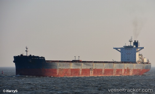
 LILA NANGLI
Current Status
Where is the vessel?
LILA NANGLI is currently in Near Taboneo, based on AIS data received less than 1h ago.
Latest AIS update:
Current position: 3.75535° S, 114.45792° E (Near Taboneo)
Average speed (last 7 days): Loading…
Average speed (last 30 days): Loading…
Vessel profile: LILA NANGLI is a Bulk Carrier with dimensions m x m.
This page combines live AIS, route history, probable destination signals, nearby traffic, and port activity for practical vessel monitoring.
The current position of vessel LILA NANGLI is -3.75535 lat / 114.45792 lng. Updated: 2026-03-29 05:49:18 UTCNearest reference points:
- Near Taboneo
- Near BANJARMASIN
- Near Bunati
Currently sailing under the flag of Liberia ![]()
Details:
Live Vessel LILA NANGLI Analytics (details, animations, etc.)
Recent AIS points (UTC):
2026-03-28 23:37:18 UTC · -3.75670, 114.45556 · SOG 0 kn · COG 120°2026-03-29 00:22:18 UTC · -3.75604, 114.45608 · SOG 0.1 kn · COG 127°
2026-03-29 01:52:18 UTC · -3.75551, 114.45705 · SOG 0 kn · COG 150°
2026-03-29 05:49:18 UTC · -3.75535, 114.45792 · SOG 0 kn · COG 180°