 vesseltracker.com
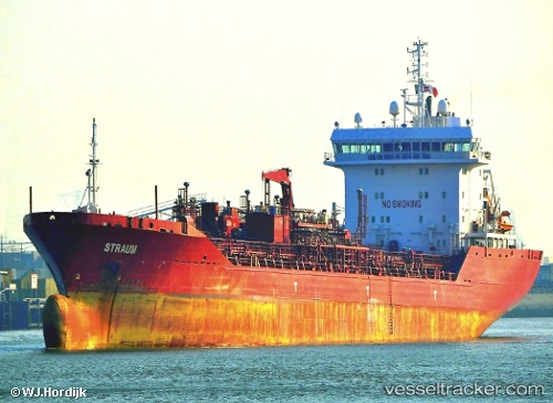
 DING HENG 38
Current Status
Where is the vessel?
DING HENG 38 is currently in 24 nm SE of Bach Ho, based on AIS data received about 2h ago.
Latest AIS update:
Current position: 9.55454° N, 108.29843° E (24 nm SE of Bach Ho)
Average speed (last 7 days): Loading…
Average speed (last 30 days): Loading…
Vessel profile: DING HENG 38 is a Chemical Oil Products Tanker with dimensions 23m x 164m.
This page combines live AIS, route history, probable destination signals, nearby traffic, and port activity for practical vessel monitoring.
The current position of vessel DING HENG 38 is 9.55454 lat / 108.29843 lng. Updated: 2026-04-18 15:33:43 UTCNearest reference points:
- Near Rang Dong
- 30 nm NW of Bach Ho
- 59 nm SW of Bach Ho
Currently sailing under the flag of Liberia ![]()
DING HENG 38 built in 0 year
Deadweight:
0 tDetails:
Live Vessel DING HENG 38 Analytics (details, animations, etc.)
Recent AIS points (UTC):
2026-04-18 09:34:41 UTC · 9.48500, 107.02167 · SOG 13 kn · COG -1°2026-04-18 11:16:44 UTC · 9.44667, 107.39667 · SOG 13 kn · COG -1°
2026-04-18 13:49:43 UTC · 9.44833, 107.96000 · SOG 12 kn · COG -1°
2026-04-18 15:33:43 UTC · 9.55454, 108.29843 · SOG 11.8 kn · COG -1°