 vesseltracker.com
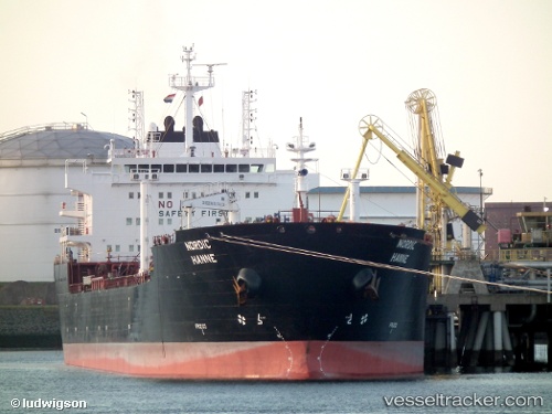
 TATIANA
Current Status
Where is the vessel?
TATIANA is currently in Near EL DEKHEILA, based on AIS data received less than 1h ago.
Latest AIS update:
Current position: 31.21469° N, 29.72161° E (Near EL DEKHEILA)
Average speed (last 7 days): Loading…
Average speed (last 30 days): Loading…
Vessel profile: TATIANA is a Oil/Chemical Tanker with dimensions m x m.
This page combines live AIS, route history, probable destination signals, nearby traffic, and port activity for practical vessel monitoring.
The current position of vessel TATIANA is 31.21469 lat / 29.72161 lng. Updated: 2026-04-19 07:27:00 UTCNearest reference points:
- Near EL DEKHEILA
- Near Alexandria
- 13 nm W of EL DEKHEILA
Currently sailing under the flag of Liberia ![]()
Details:
Live Vessel TATIANA Analytics (details, animations, etc.)
Recent AIS points (UTC):
2026-04-19 01:45:00 UTC · 31.21503, 29.72184 · SOG 0.1 kn · COG 287°2026-04-19 04:00:00 UTC · 31.21518, 29.72188 · SOG 0.1 kn · COG 288°
2026-04-19 05:57:00 UTC · 31.21492, 29.72175 · SOG 0 kn · COG 295°
2026-04-19 07:27:00 UTC · 31.21469, 29.72161 · SOG 0 kn · COG 306°