 vesseltracker.com
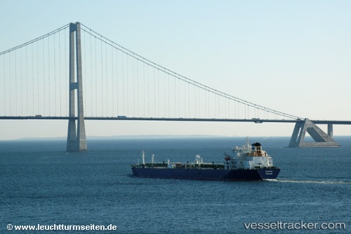
 NORDIC
Current Status
Where is the vessel?
NORDIC is currently in 74 nm S of Yalta, based on AIS data received about 5d ago.
Latest AIS update:
Current position: 43.31285° N, 34.71466° E (74 nm S of Yalta)
Average speed (last 7 days): Loading…
Average speed (last 30 days): Loading…
Vessel profile: NORDIC is a Oil Products Tanker with dimensions m x m.
This page combines live AIS, route history, probable destination signals, nearby traffic, and port activity for practical vessel monitoring.
The current position of vessel NORDIC is 43.31285 lat / 34.71466 lng. Updated: 2026-04-10 07:01:13 UTCNearest reference points:
- 51 nm N of Sinop
- 76 nm N of Sinop
- 79 nm SE of Yalta
Currently sailing under the flag of Liberia ![]()
Details:
Live Vessel NORDIC Analytics (details, animations, etc.)
Recent AIS points (UTC):
2026-04-09 13:25:28 UTC · 41.79312, 30.51065 · SOG 12.4 kn · COG 69°2026-04-10 04:00:32 UTC · 43.24365, 34.42116 · SOG 13.6 kn · COG -1°
2026-04-10 05:15:52 UTC · 43.31974, 34.65285 · SOG 2 kn · COG -1°
2026-04-10 07:01:13 UTC · 43.31285, 34.71466 · SOG 1.6 kn · COG -1°