 vesseltracker.com
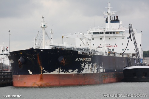
 MARTINI
Current Status
Where is the vessel?
MARTINI is currently in 92 nm SE of Nagercoil, based on AIS data received about 2h ago.
Latest AIS update:
Current position: 6.77100° N, 78.06050° E (92 nm SE of Nagercoil)
Average speed (last 7 days): Loading…
Average speed (last 30 days): Loading…
Vessel profile: MARTINI is a Crude Oil Tanker with dimensions m x m.
This page combines live AIS, route history, probable destination signals, nearby traffic, and port activity for practical vessel monitoring.
The current position of vessel MARTINI is 6.77100 lat / 78.06050 lng. Updated: 2026-03-28 09:25:34 UTCNearest reference points:
- 94 nm W of Dehiwala
- 90 nm W of Moratuwa
- 98 nm S of Nagercoil
Currently sailing under the flag of Liberia ![]()
Details:
Live Vessel MARTINI Analytics (details, animations, etc.)
Recent AIS points (UTC):
2026-03-28 04:16:34 UTC · 7.36600, 77.18583 · SOG 11.8 kn · COG -1°2026-03-28 05:36:41 UTC · 7.21017, 77.41667 · SOG 11.8 kn · COG -1°
2026-03-28 07:26:52 UTC · 6.99317, 77.72650 · SOG 12.1 kn · COG -1°
2026-03-28 09:25:34 UTC · 6.77100, 78.06050 · SOG 12.3 kn · COG 127°