 vesseltracker.com
 LADY LUCY
Current Status
Where is the vessel?
LADY LUCY is currently in 31 nm SW of Rosarito Terminal, based on AIS data received about 61d ago.
Latest AIS update:
Current position: 32.01478° N, 117.57023° W (31 nm SW of Rosarito Terminal)
Average speed (last 7 days): Loading…
Average speed (last 30 days): Loading…
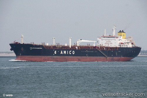
Vessel profile: LADY LUCY is a Chemical/Oil Products Tanker with dimensions 33m x 174m.
This page combines live AIS, route history, probable destination signals, nearby traffic, and port activity for practical vessel monitoring.
The current position of vessel LADY LUCY is 32.01478 lat / -117.57023 lng. Updated: 2026-02-18 08:31:36 UTCNearest reference points:
- Near Ocean Beach
- Near Coronado
- Near San Diego
Currently sailing under the flag of Liberia ![]()
LADY LUCY built in 2006 year
Deadweight:
38877 tDetails:
Live Vessel LADY LUCY Analytics (details, animations, etc.)
Recent AIS points (UTC):
2026-02-18 08:31:36 UTC · 32.01478, -117.57023 · SOG 3 kn · COG 226°