 vesseltracker.com
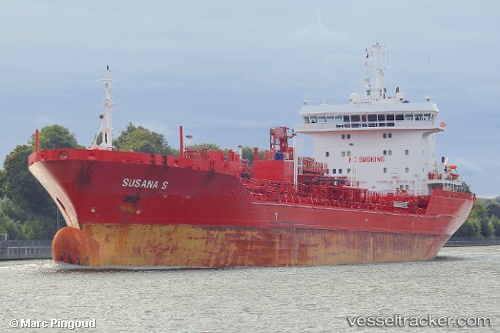
 ANCHOR 18
Current Status
Where is the vessel?
ANCHOR 18 is currently in 34 nm S of ADRA, based on AIS data received about 20h ago.
Latest AIS update:
Current position: 36.19417° N, 2.86767° W (34 nm S of ADRA)
Average speed (last 7 days): Loading…
Average speed (last 30 days): Loading…
Vessel profile: ANCHOR 18 is a Oil/Chemical Tanker with dimensions m x m.
This page combines live AIS, route history, probable destination signals, nearby traffic, and port activity for practical vessel monitoring.
The current position of vessel ANCHOR 18 is 36.19417 lat / -2.86767 lng. Updated: 2026-04-10 07:59:29 UTCNearest reference points:
- 37 nm S of Las Noras de Daza
- 29 nm S of Carchuna
- 28 nm N of Melilla
Currently sailing under the flag of Liberia ![]()
Details:
Live Vessel ANCHOR 18 Analytics (details, animations, etc.)
Recent AIS points (UTC):
2026-04-10 02:39:25 UTC · 36.16103, -3.95863 · SOG 10.5 kn · COG 88°2026-04-10 04:19:57 UTC · 36.17071, -3.60141 · SOG 10 kn · COG 87°
2026-04-10 05:23:47 UTC · 36.17831, -3.37844 · SOG 10.3 kn · COG 82°
2026-04-10 07:59:29 UTC · 36.19417, -2.86767 · SOG 9.2 kn · COG 84°