 vesseltracker.com
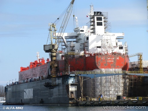
 MARGARETA
Current Status
Where is the vessel?
MARGARETA is currently in 16 nm W of Neringa, based on AIS data received less than 1h ago.
Latest AIS update:
Current position: 55.34133° N, 20.57150° E (16 nm W of Neringa)
Average speed (last 7 days): Loading…
Average speed (last 30 days): Loading…
Vessel profile: MARGARETA is a Crude Oil Tanker with dimensions 234m x 42m.
This page combines live AIS, route history, probable destination signals, nearby traffic, and port activity for practical vessel monitoring.
The current position of vessel MARGARETA is 55.34133 lat / 20.57150 lng. Updated: 2026-04-07 05:39:26 UTCNearest reference points:
- 10 nm NW of Svetlogorsk
- Near Kaliningrad
- Near Klaipeda
Currently sailing under the flag of Liberia ![]()
MARGARETA built in 2003 year
Deadweight:
92968 tDetails:
Live Vessel MARGARETA Analytics (details, animations, etc.)
Recent AIS points (UTC):
2026-04-05 21:55:22 UTC · 55.32250, 20.41133 · SOG 6.5 kn · COG 244°2026-04-07 00:30:27 UTC · 54.78683, 19.68100 · SOG 0 kn · COG 281°
2026-04-07 00:30:27 UTC · 54.78683, 19.68100 · SOG 0 kn · COG 281°
2026-04-07 05:39:26 UTC · 55.34133, 20.57150 · SOG 59.1 kn · COG 290°