 vesseltracker.com
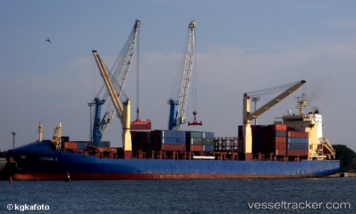
 LILA HAREN
Current Status
Where is the vessel?
LILA HAREN is currently in 25 nm E of Fisher Island, Miami, based on AIS data received about 1h ago.
Latest AIS update:
Current position: 25.69838° N, 79.67159° W (25 nm E of Fisher Island, Miami)
Average speed (last 7 days): Loading…
Average speed (last 30 days): Loading…
Vessel profile: LILA HAREN is a Container Ship with dimensions m x m.
This page combines live AIS, route history, probable destination signals, nearby traffic, and port activity for practical vessel monitoring.
The current position of vessel LILA HAREN is 25.69838 lat / -79.67159 lng. Updated: 2026-04-18 06:20:04 UTCNearest reference points:
- 44 nm E of Surfside
- Near Fisher Island, Miami
- Near Fort Lauderdale
Currently sailing under the flag of Liberia ![]()
Details:
Live Vessel LILA HAREN Analytics (details, animations, etc.)
Recent AIS points (UTC):
2026-04-18 00:05:25 UTC · 26.07286, -80.11885 · SOG 0 kn · COG 90°2026-04-18 02:26:26 UTC · 26.07287, -80.11893 · SOG 0 kn · COG 90°
2026-04-18 03:54:47 UTC · 26.04118, -80.02257 · SOG 13.4 kn · COG 130°
2026-04-18 06:20:04 UTC · 25.69838, -79.67159 · SOG 12.4 kn · COG 170°