 vesseltracker.com
 SUNNY KANKAN
Current Status
Where is the vessel?
SUNNY KANKAN is currently in 290 nm SW of Panjang, based on AIS data received about 2h ago.
Latest AIS update:
Current position: 8.59426° S, 100.94106° E (290 nm SW of Panjang)
Average speed (last 7 days): Loading…
Average speed (last 30 days): Loading…
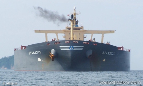
Vessel profile: SUNNY KANKAN is a Bulk Carrier with dimensions m x m.
This page combines live AIS, route history, probable destination signals, nearby traffic, and port activity for practical vessel monitoring.
The current position of vessel SUNNY KANKAN is -8.59426 lat / 100.94106 lng. Updated: 2026-03-28 19:44:53 UTCNearest reference points:
- 163 nm W of Panjang
- 293 nm SW of Lahat
Currently sailing under the flag of Liberia ![]()
Details:
Live Vessel SUNNY KANKAN Analytics (details, animations, etc.)
Recent AIS points (UTC):
2026-03-28 13:51:22 UTC · -9.01902, 100.11349 · SOG 9.3 kn · COG 65°2026-03-28 15:38:15 UTC · -8.89127, 100.36732 · SOG 9.5 kn · COG 63°
2026-03-28 17:31:52 UTC · -8.75142, 100.63403 · SOG 9.4 kn · COG 64°
2026-03-28 19:44:53 UTC · -8.59426, 100.94106 · SOG 9 kn · COG 66°