 vesseltracker.com
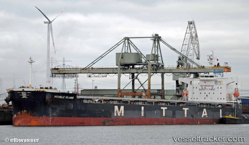
 HYDRUS
Current Status
Where is the vessel?
HYDRUS is currently in 52 nm E of SAFAGA, based on AIS data received about 1h ago.
Latest AIS update:
Current position: 26.84352° N, 34.90446° E (52 nm E of SAFAGA)
Average speed (last 7 days): Loading…
Average speed (last 30 days): Loading…
Vessel profile: HYDRUS is a Bulk Carrier with dimensions m x m.
This page combines live AIS, route history, probable destination signals, nearby traffic, and port activity for practical vessel monitoring.
The current position of vessel HYDRUS is 26.84352 lat / 34.90446 lng. Updated: 2026-04-09 15:23:40 UTCNearest reference points:
- Near DUBA
- Near Bur Safaga
- 15 nm SW of Al Khuraibah
Currently sailing under the flag of Liberia ![]()
Details:
Live Vessel HYDRUS Analytics (details, animations, etc.)
Recent AIS points (UTC):
2026-04-09 14:03:39 UTC · 27.05897, 34.81117 · SOG 10.2 kn · COG 164°2026-04-09 15:23:40 UTC · 26.84352, 34.90446 · SOG 10.1 kn · COG 160°
2026-04-09 15:23:40 UTC · 26.84352, 34.90446 · SOG 10.1 kn · COG 160°
2026-04-09 15:23:40 UTC · 26.84352, 34.90446 · SOG 10.1 kn · COG 160°