 vesseltracker.com
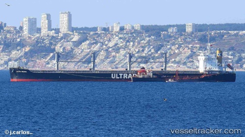
 ARYA
ARYA
Current Status
Where is the vessel?
ARYA is currently in 12 nm S of Guarujá, based on AIS data received about 1h ago.
Latest AIS update:
Current position: 24.19342° S, 46.20680° W (12 nm S of Guarujá)
Average speed (last 7 days): Loading…
Average speed (last 30 days): Loading…
Vessel profile: ARYA is a Bulk Carrier with dimensions m x m.
This page combines live AIS, route history, probable destination signals, nearby traffic, and port activity for practical vessel monitoring.
The current position of vessel ARYA is -24.19342 lat / -46.20680 lng. Updated: 2026-04-19 19:36:01 UTCNearest reference points:
- Near Guarujá
- Near Santos
- 30 nm SE of Guarujá
Currently sailing under the flag of Liberia ![]()
Details:
Live Vessel ARYA Analytics (details, animations, etc.)
Recent AIS points (UTC):
2026-04-19 16:20:58 UTC · -24.19347, -46.20707 · SOG 0.5 kn · COG 246°2026-04-19 17:51:03 UTC · -24.19356, -46.20699 · SOG 0.1 kn · COG 249°
2026-04-19 19:15:18 UTC · -24.19356, -46.20681 · SOG 0.5 kn · COG 248°
2026-04-19 19:36:01 UTC · -24.19342, -46.20680 · SOG 0.5 kn · COG 244°