 vesseltracker.com
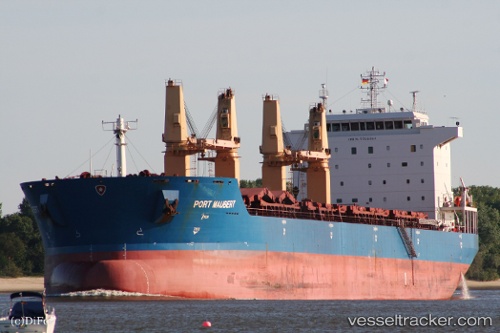
 MAUBERT
Current Status
Where is the vessel?
MAUBERT is currently in 18 nm S of Kattavía, based on AIS data received about 1h ago.
Latest AIS update:
Current position: 35.65136° N, 27.68596° E (18 nm S of Kattavía)
Average speed (last 7 days): Loading…
Average speed (last 30 days): Loading…
Vessel profile: MAUBERT is a Bulk Carrier with dimensions m x m.
This page combines live AIS, route history, probable destination signals, nearby traffic, and port activity for practical vessel monitoring.
The current position of vessel MAUBERT is 35.65136 lat / 27.68596 lng. Updated: 2026-04-19 05:57:19 UTCNearest reference points:
- Near PANORMITIS
- Near Kremasti
- Near Rhodes
Currently sailing under the flag of Liberia ![]()
Details:
Live Vessel MAUBERT Analytics (details, animations, etc.)
Recent AIS points (UTC):
2026-04-18 17:40:20 UTC · 34.33500, 29.13833 · SOG 9 kn · COG -1°2026-04-19 00:10:22 UTC · 35.03500, 28.36500 · SOG 8 kn · COG -1°
2026-04-19 03:31:23 UTC · 35.39500, 27.97333 · SOG 8 kn · COG -1°
2026-04-19 05:57:19 UTC · 35.65136, 27.68596 · SOG 8.3 kn · COG 329°