 vesseltracker.com
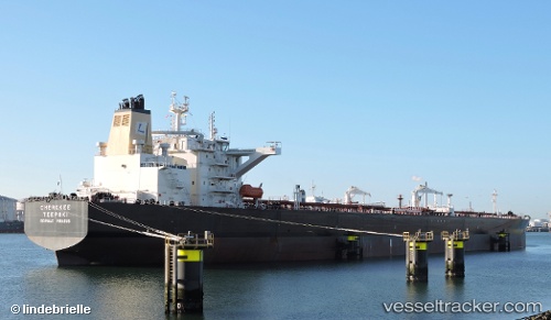
 NORDIC HAWK
Current Status
Where is the vessel?
NORDIC HAWK is currently in 91 nm W of Gulfmex Lightering Area, based on AIS data received about 1h ago.
Latest AIS update:
Current position: 27.75889° N, 92.54469° W (91 nm W of Gulfmex Lightering Area)
Average speed (last 7 days): Loading…
Average speed (last 30 days): Loading…
Vessel profile: NORDIC HAWK is a Tanker with dimensions m x m.
This page combines live AIS, route history, probable destination signals, nearby traffic, and port activity for practical vessel monitoring.
The current position of vessel NORDIC HAWK is 27.75889 lat / -92.54469 lng. Updated: 2026-04-19 06:41:24 UTCNearest reference points:
- 83 nm W of Gulfmex Lightering Area
- 97 nm W of Gulfmex Lightering Area
- 66 nm NW of Gulfmex Lightering Area
Currently sailing under the flag of Liberia ![]()
Details:
Live Vessel NORDIC HAWK Analytics (details, animations, etc.)
Recent AIS points (UTC):
2026-04-19 00:35:25 UTC · 26.37894, -92.46310 · SOG 13.3 kn · COG 353°2026-04-19 03:00:47 UTC · 26.92493, -92.49775 · SOG 13.6 kn · COG 359°
2026-04-19 05:58:18 UTC · 27.59603, -92.53519 · SOG 13.5 kn · COG -1°
2026-04-19 06:41:24 UTC · 27.75889, -92.54469 · SOG 14 kn · COG 355°