 vesseltracker.com
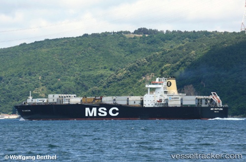
 MSC MARYLENA II
Current Status
Where is the vessel?
MSC MARYLENA II is currently in 15 nm NE of Engure, based on AIS data received less than 1h ago.
Latest AIS update:
Current position: 57.28195° N, 23.64099° E (15 nm NE of Engure)
Average speed (last 7 days): Loading…
Average speed (last 30 days): Loading…
Vessel profile: MSC MARYLENA II is a Container Ship with dimensions m x m.
This page combines live AIS, route history, probable destination signals, nearby traffic, and port activity for practical vessel monitoring.
The current position of vessel MSC MARYLENA II is 57.28195 lat / 23.64099 lng. Updated: 2026-04-18 14:01:29 UTCNearest reference points:
- Near Bullu
- Near Riga
- Near Ristna
Currently sailing under the flag of Liberia ![]()
Details:
Live Vessel MSC MARYLENA II Analytics (details, animations, etc.)
Recent AIS points (UTC):
2026-04-18 04:48:33 UTC · 54.96451, 19.97831 · SOG 7.5 kn · COG 23°2026-04-18 09:39:03 UTC · 57.83349, 22.58645 · SOG 11.1 kn · COG 66°
2026-04-18 11:57:39 UTC · 57.55313, 23.15581 · SOG 11.1 kn · COG 135°
2026-04-18 14:01:29 UTC · 57.28195, 23.64099 · SOG 10.9 kn · COG 136°