 vesseltracker.com
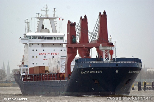
 ST MARIA
Current Status
Where is the vessel?
ST MARIA is currently in 26 nm SE of Summerstrand, based on AIS data received about 1h ago.
Latest AIS update:
Current position: 34.35382° S, 25.90756° E (26 nm SE of Summerstrand)
Average speed (last 7 days): Loading…
Average speed (last 30 days): Loading…
Vessel profile: ST MARIA is a Multi Purpose Carrier with dimensions 166m x 23m.
This page combines live AIS, route history, probable destination signals, nearby traffic, and port activity for practical vessel monitoring.
The current position of vessel ST MARIA is -34.35382 lat / 25.90756 lng. Updated: 2026-04-20 17:25:16 UTCNearest reference points:
- 21 nm S of Mount Pleasant
- Near Deal Party
Currently sailing under the flag of Liberia ![]()
Details:
Live Vessel ST MARIA Analytics (details, animations, etc.)
Recent AIS points (UTC):
2026-04-20 14:18:52 UTC · -34.57270, 25.13283 · SOG 11.3 kn · COG 73°2026-04-20 15:52:18 UTC · -34.46610, 25.50672 · SOG 14.8 kn · COG 70°
2026-04-20 16:42:01 UTC · -34.40199, 25.72347 · SOG 13.3 kn · COG 69°
2026-04-20 17:25:16 UTC · -34.35382, 25.90756 · SOG 13.2 kn · COG 70°