 vesseltracker.com
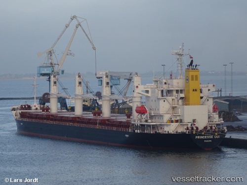
 ECO NEMESIS
Current Status
Where is the vessel?
ECO NEMESIS is currently in 84 nm SW of Alozaina, based on AIS data received about 1h ago.
Latest AIS update:
Current position: 35.85138° N, 16.22041° W (84 nm SW of Alozaina)
Average speed (last 7 days): Loading…
Average speed (last 30 days): Loading…
Vessel profile: ECO NEMESIS is a Cargo with dimensions m x m.
This page combines live AIS, route history, probable destination signals, nearby traffic, and port activity for practical vessel monitoring.
The current position of vessel ECO NEMESIS is 35.85138 lat / -16.22041 lng. Updated: 2026-04-20 19:52:51 UTCNearest reference points:
- 78 nm W of Nedroma
Currently sailing under the flag of Liberia ![]()
Details:
Live Vessel ECO NEMESIS Analytics (details, animations, etc.)
Recent AIS points (UTC):
2026-04-20 16:53:28 UTC · 35.86077, -15.53039 · SOG 11.1 kn · COG 270°2026-04-20 17:35:03 UTC · 35.85972, -15.68680 · SOG 10.9 kn · COG 271°
2026-04-20 19:36:48 UTC · 35.85162, -16.15837 · SOG 11.4 kn · COG 272°
2026-04-20 19:52:51 UTC · 35.85138, -16.22041 · SOG 11.3 kn · COG 272°