 vesseltracker.com
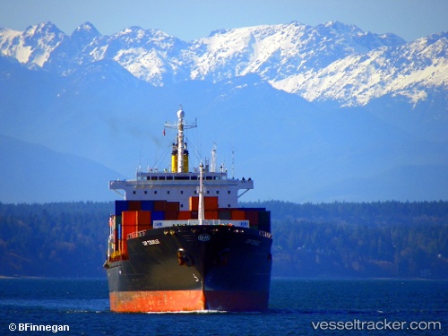
 TB JINJIANG
Current Status
Where is the vessel?
TB JINJIANG is currently in Near Fateh Terminal, based on AIS data received less than 1h ago.
Latest AIS update:
Current position: 25.57504° N, 54.67947° E (Near Fateh Terminal)
Average speed (last 7 days): Loading…
Average speed (last 30 days): Loading…
Vessel profile: TB JINJIANG is a Container Ship with dimensions m x m.
This page combines live AIS, route history, probable destination signals, nearby traffic, and port activity for practical vessel monitoring.
The current position of vessel TB JINJIANG is 25.57504 lat / 54.67947 lng. Updated: 2026-04-22 19:34:04 UTCNearest reference points:
- 11 nm SW of Fateh Terminal
- 17 nm NW of Free Port
- 16 nm NW of Jebel Ali
Currently sailing under the flag of Liberia ![]()
Details:
Live Vessel TB JINJIANG Analytics (details, animations, etc.)
Recent AIS points (UTC):
2026-04-22 16:11:35 UTC · 25.57613, 54.67806 · SOG 0 kn · COG 74°2026-04-22 16:59:35 UTC · 25.57627, 54.67809 · SOG 0 kn · COG 80°
2026-04-22 17:29:35 UTC · 25.57613, 54.67804 · SOG 0 kn · COG 71°
2026-04-22 19:34:04 UTC · 25.57504, 54.67947 · SOG 0.1 kn · COG 355°