 vesseltracker.com
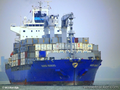
 SANTA MARTA EXPRESS
Current Status
Where is the vessel?
SANTA MARTA EXPRESS is currently in Near Juelsminde, based on AIS data received about 1d ago.
Latest AIS update:
Current position: 55.67217° N, 10.23972° E (Near Juelsminde)
Average speed (last 7 days): Loading…
Average speed (last 30 days): Loading…
Vessel profile: SANTA MARTA EXPRESS is a Container Ship with dimensions m x m.
This page combines live AIS, route history, probable destination signals, nearby traffic, and port activity for practical vessel monitoring.
The current position of vessel SANTA MARTA EXPRESS is 55.67217 lat / 10.23972 lng. Updated: 2026-04-10 07:26:40 UTCNearest reference points:
- Near Horsens
- Near Faaborg
- Near Lindholm Havn
Currently sailing under the flag of Liberia ![]()
Details:
Live Vessel SANTA MARTA EXPRESS Analytics (details, animations, etc.)
Recent AIS points (UTC):
2026-04-10 02:23:40 UTC · 55.67122, 10.23718 · SOG 0.5 kn · COG 133°2026-04-10 03:47:40 UTC · 55.67138, 10.23759 · SOG 0.6 kn · COG 117°
2026-04-10 05:56:40 UTC · 55.67186, 10.23850 · SOG 0.2 kn · COG 145°
2026-04-10 07:26:40 UTC · 55.67217, 10.23972 · SOG 0.1 kn · COG 175°