 vesseltracker.com
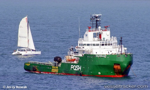
 MAVERICK I
Current Status
Where is the vessel?
MAVERICK I is currently in Near HAMBANTOTA, based on AIS data received less than 1h ago.
Latest AIS update:
Current position: 6.13358° N, 81.09462° E (Near HAMBANTOTA)
Average speed (last 7 days): Loading…
Average speed (last 30 days): Loading…
Vessel profile: MAVERICK I is a Tug with dimensions m x m.
This page combines live AIS, route history, probable destination signals, nearby traffic, and port activity for practical vessel monitoring.
The current position of vessel MAVERICK I is 6.13358 lat / 81.09462 lng. Updated: 2026-03-31 22:11:55 UTCNearest reference points:
- Near HAMBANTOTA
- 15 nm S of Koggala
- 40 nm E of Konwelana
Currently sailing under the flag of Liberia ![]()
Details:
Live Vessel MAVERICK I Analytics (details, animations, etc.)
Recent AIS points (UTC):
2026-03-31 15:26:55 UTC · 6.13360, 81.09463 · SOG 0 kn · COG 89°2026-03-31 17:26:55 UTC · 6.13359, 81.09464 · SOG 0.1 kn · COG 89°
2026-03-31 19:56:57 UTC · 6.13358, 81.09466 · SOG 0 kn · COG 90°
2026-03-31 22:11:55 UTC · 6.13358, 81.09462 · SOG 0 kn · COG 89°