 vesseltracker.com
 CAN S
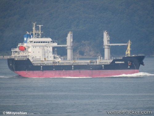
CAN S
Current Status
Where is the vessel?
CAN S is currently in Near Haifa, based on AIS data received less than 1h ago.
Latest AIS update:
Current position: 32.81360° N, 35.03140° E (Near Haifa)
Average speed (last 7 days): Loading…
Average speed (last 30 days): Loading…
Vessel profile: CAN S is a Other Type with dimensions m x m.
This page combines live AIS, route history, probable destination signals, nearby traffic, and port activity for practical vessel monitoring.
The current position of vessel CAN S is 32.81360 lat / 35.03140 lng. Updated: 2026-04-10 03:58:06 UTCNearest reference points:
- Near Haifa
- 22 nm W of Haifa Granaries
- Near DBAIYEH
Currently sailing under the flag of Liberia ![]()
Details:
Live Vessel CAN S Analytics (details, animations, etc.)
Recent AIS points (UTC):
2026-04-09 21:48:11 UTC · 32.81362, 35.03139 · SOG 0 kn · COG 160°2026-04-09 23:48:15 UTC · 32.81357, 35.03142 · SOG 0.1 kn · COG 160°
2026-04-10 02:16:05 UTC · 32.81362, 35.03146 · SOG 0 kn · COG 161°
2026-04-10 03:58:06 UTC · 32.81360, 35.03140 · SOG 0 kn · COG 161°