 vesseltracker.com
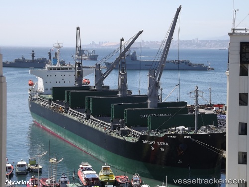
 MED LIGURIA
Current Status
Where is the vessel?
MED LIGURIA is currently in 30 nm NW of TENES, based on AIS data received about 1h ago.
Latest AIS update:
Current position: 36.97913° N, 1.07156° E (30 nm NW of TENES)
Average speed (last 7 days): Loading…
Average speed (last 30 days): Loading…
Vessel profile: MED LIGURIA is a Bulk Carrier with dimensions m x m.
This page combines live AIS, route history, probable destination signals, nearby traffic, and port activity for practical vessel monitoring.
The current position of vessel MED LIGURIA is 36.97913 lat / 1.07156 lng. Updated: 2026-04-15 05:46:44 UTCNearest reference points:
- 17 nm S of Albanchez
- 50 nm N of Mostaganem
- 43 nm NW of Mostaganem
Currently sailing under the flag of Liberia ![]()
Details:
Live Vessel MED LIGURIA Analytics (details, animations, etc.)
Recent AIS points (UTC):
2026-04-14 21:29:10 UTC · 37.26595, 3.08765 · SOG 11.8 kn · COG -1°2026-04-14 23:04:19 UTC · 37.25203, 2.68728 · SOG 12 kn · COG -1°
2026-04-15 01:56:03 UTC · 37.20248, 1.98616 · SOG 11.7 kn · COG 258°
2026-04-15 05:46:44 UTC · 36.97913, 1.07156 · SOG 12.2 kn · COG -1°