 vesseltracker.com
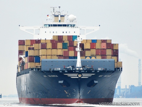
 MSC LUANDA VIII
Current Status
Where is the vessel?
MSC LUANDA VIII is currently in Near Veracruz, based on AIS data received about 1d ago.
Latest AIS update:
Current position: 19.23997° N, 96.17006° W (Near Veracruz)
Average speed (last 7 days): Loading…
Average speed (last 30 days): Loading…
Vessel profile: MSC LUANDA VIII is a Container Ship with dimensions m x m.
This page combines live AIS, route history, probable destination signals, nearby traffic, and port activity for practical vessel monitoring.
The current position of vessel MSC LUANDA VIII is 19.23997 lat / -96.17006 lng. Updated: 2026-04-10 08:00:15 UTCNearest reference points:
- Near Veracruz
- 25 nm E of Tuxpan
- Near Coatzacoalcos
Currently sailing under the flag of Liberia ![]()
Details:
Live Vessel MSC LUANDA VIII Analytics (details, animations, etc.)
Recent AIS points (UTC):
2026-04-10 02:39:15 UTC · 19.23998, -96.17005 · SOG 0 kn · COG 349°2026-04-10 04:24:16 UTC · 19.23999, -96.17005 · SOG 0 kn · COG 349°
2026-04-10 05:30:14 UTC · 19.23999, -96.17005 · SOG 0 kn · COG 349°
2026-04-10 08:00:15 UTC · 19.23997, -96.17006 · SOG 0 kn · COG 349°