 vesseltracker.com
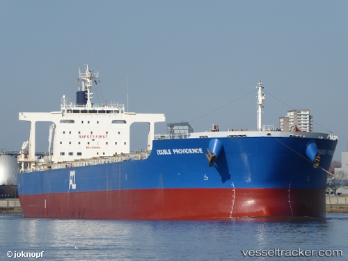
 ULIVIA
Current Status
Where is the vessel?
ULIVIA is currently in Near Hulaylah Terminal, based on AIS data received about 1h ago.
Latest AIS update:
Current position: 26.06731° N, 55.88338° E (Near Hulaylah Terminal)
Average speed (last 7 days): Loading…
Average speed (last 30 days): Loading…
Vessel profile: ULIVIA is a Bulk Carrier with dimensions m x m.
This page combines live AIS, route history, probable destination signals, nearby traffic, and port activity for practical vessel monitoring.
The current position of vessel ULIVIA is 26.06731 lat / 55.88338 lng. Updated: 2026-04-18 17:34:23 UTCNearest reference points:
- Near Hulaylah Terminal
- 13 nm NW of Hulaylah Terminal
- Near Stevin Rock
Currently sailing under the flag of Liberia ![]()
Details:
Live Vessel ULIVIA Analytics (details, animations, etc.)
Recent AIS points (UTC):
2026-04-18 12:13:23 UTC · 26.06878, 55.88519 · SOG 0 kn · COG 292°2026-04-18 13:34:23 UTC · 26.06985, 55.88589 · SOG 0 kn · COG 264°
2026-04-18 15:58:23 UTC · 26.06970, 55.88598 · SOG 0.1 kn · COG 257°
2026-04-18 17:34:23 UTC · 26.06731, 55.88338 · SOG 0.4 kn · COG 345°