 vesseltracker.com
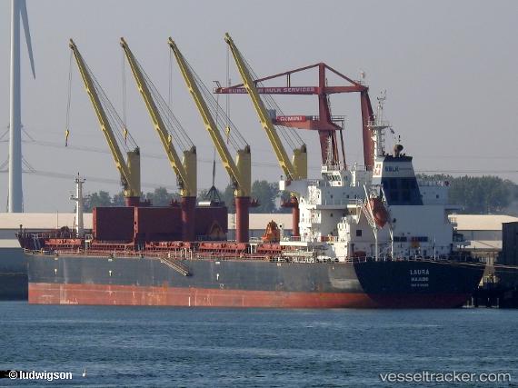
 LAURA
LAURA
Current Status
Where is the vessel?
LAURA is currently in 110 nm NE of Nedroma, based on AIS data received about 1h ago.
Latest AIS update:
Current position: 35.97067° N, 12.76185° W (110 nm NE of Nedroma)
Average speed (last 7 days): Loading…
Average speed (last 30 days): Loading…
Vessel profile: LAURA is a Cargo with dimensions m x m.
This page combines live AIS, route history, probable destination signals, nearby traffic, and port activity for practical vessel monitoring.
The current position of vessel LAURA is 35.97067 lat / -12.76185 lng. Updated: 2026-04-19 10:21:23 UTCNearest reference points:
- 118 nm NE of Nedroma
- 116 nm NE of Nedroma
- 115 nm E of Nedroma
Currently sailing under the flag of Liberia ![]()
Details:
Live Vessel LAURA Analytics (details, animations, etc.)
Recent AIS points (UTC):
2026-04-19 06:19:40 UTC · 35.24167, -12.96333 · SOG 10 kn · COG -1°2026-04-19 08:15:44 UTC · 35.59093, -12.86693 · SOG 11 kn · COG 10°
2026-04-19 10:01:03 UTC · 35.91009, -12.77796 · SOG 11 kn · COG 11°
2026-04-19 10:21:23 UTC · 35.97067, -12.76185 · SOG 10.7 kn · COG 12°