 vesseltracker.com
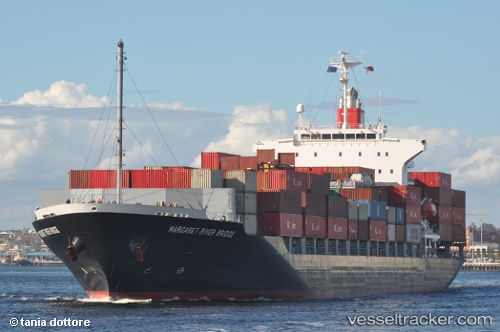
 SMOOTH WIND
Current Status
Where is the vessel?
SMOOTH WIND is currently in 15 nm W of Kao-Hsiung Kang, based on AIS data received about 1h ago.
Latest AIS update:
Current position: 22.60062° N, 120.00155° E (15 nm W of Kao-Hsiung Kang)
Average speed (last 7 days): Loading…
Average speed (last 30 days): Loading…
Vessel profile: SMOOTH WIND is a Container Ship with dimensions m x m.
This page combines live AIS, route history, probable destination signals, nearby traffic, and port activity for practical vessel monitoring.
The current position of vessel SMOOTH WIND is 22.60062 lat / 120.00155 lng. Updated: 2026-03-28 21:59:07 UTCNearest reference points:
- Near Tso-Ying
- Near YUNG AN
- Near Kao-Hsiung Kang
Currently sailing under the flag of Liberia ![]()
Details:
Live Vessel SMOOTH WIND Analytics (details, animations, etc.)
Recent AIS points (UTC):
2026-03-28 17:56:25 UTC · 23.45720, 119.87343 · SOG 12.6 kn · COG 176°2026-03-28 20:14:08 UTC · 22.96783, 119.92205 · SOG 13.2 kn · COG 170°
2026-03-28 21:38:28 UTC · 22.65733, 119.98242 · SOG 11.7 kn · COG 168°
2026-03-28 21:59:07 UTC · 22.60062, 120.00155 · SOG 9.3 kn · COG 141°