 vesseltracker.com
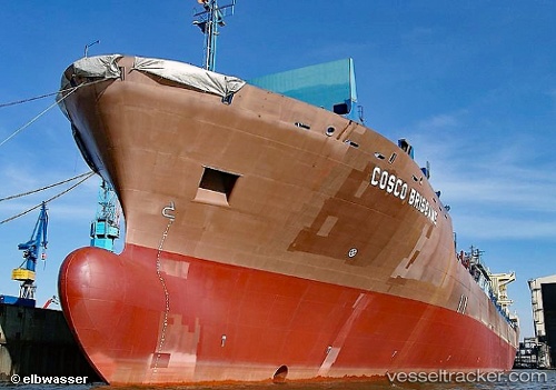
 DORIS OCEAN
Current Status
Where is the vessel?
DORIS OCEAN is currently in 341 nm S of Krustetten, based on AIS data received less than 1h ago.
Latest AIS update:
Current position: 42.89214° N, 156.15132° W (341 nm S of Krustetten)
Average speed (last 7 days): Loading…
Average speed (last 30 days): Loading…
Vessel profile: DORIS OCEAN is a Container Ship with dimensions m x m.
This page combines live AIS, route history, probable destination signals, nearby traffic, and port activity for practical vessel monitoring.
The current position of vessel DORIS OCEAN is 42.89214 lat / -156.15132 lng. Updated: 2026-04-18 06:00:12 UTCNearest reference points:
- Open sea, approx. 401 nm off the nearest listed port
- Open sea, approx. 404 nm off the nearest listed port
- Open sea, approx. 412 nm off the nearest listed port
Currently sailing under the flag of Liberia ![]()
Details:
Live Vessel DORIS OCEAN Analytics (details, animations, etc.)
Recent AIS points (UTC):
2026-04-17 23:41:53 UTC · 43.89888, -158.50583 · SOG 19 kn · COG 120°2026-04-18 01:29:39 UTC · 43.59804, -157.83836 · SOG 18.9 kn · COG 121°
2026-04-18 03:26:01 UTC · 43.27497, -157.12566 · SOG 18.7 kn · COG 120°
2026-04-18 06:00:12 UTC · 42.89214, -156.15132 · SOG 18.6 kn · COG 114°