 vesseltracker.com
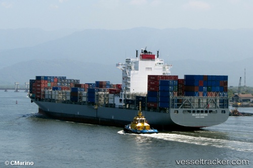
 KOBE C
Current Status
Where is the vessel?
KOBE C is currently in 244 nm SW of L'Étang-Salé, based on AIS data received about 1h ago.
Latest AIS update:
Current position: 24.00990° S, 52.11794° E (244 nm SW of L'Étang-Salé)
Average speed (last 7 days): Loading…
Average speed (last 30 days): Loading…
Vessel profile: KOBE C is a Container Ship with dimensions m x m.
This page combines live AIS, route history, probable destination signals, nearby traffic, and port activity for practical vessel monitoring.
The current position of vessel KOBE C is -24.00990 lat / 52.11794 lng. Updated: 2026-04-18 20:16:21 UTCNearest reference points:
- 209 nm E of Manakara
- 194 nm E of Manakara
- 271 nm E of Fort Dauphin
Currently sailing under the flag of Liberia ![]()
Details:
Live Vessel KOBE C Analytics (details, animations, etc.)
Recent AIS points (UTC):
2026-04-18 13:31:06 UTC · -24.95299, 50.30293 · SOG 18.3 kn · COG 54°2026-04-18 15:54:42 UTC · -24.60139, 50.97374 · SOG 17.2 kn · COG 60°
2026-04-18 17:37:09 UTC · -24.36623, 51.42576 · SOG 16.4 kn · COG 63°
2026-04-18 20:16:21 UTC · -24.00990, 52.11794 · SOG 16.6 kn · COG 61°