 vesseltracker.com
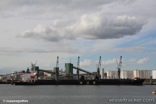
 AFAR STAR
Current Status
Where is the vessel?
AFAR STAR is currently in 24 nm E of Beira, based on AIS data received less than 1h ago.
Latest AIS update:
Current position: 19.96344° S, 35.21900° E (24 nm E of Beira)
Average speed (last 7 days): Loading…
Average speed (last 30 days): Loading…
Vessel profile: AFAR STAR is a General Cargo with dimensions m x m.
This page combines live AIS, route history, probable destination signals, nearby traffic, and port activity for practical vessel monitoring.
The current position of vessel AFAR STAR is -19.96344 lat / 35.21900 lng. Updated: 2026-04-18 07:59:48 UTCNearest reference points:
- 24 nm SE of Beira
- 21 nm SE of Beira
- 14 nm E of Beira
Currently sailing under the flag of Liberia ![]()
Details:
Live Vessel AFAR STAR Analytics (details, animations, etc.)
Recent AIS points (UTC):
2026-04-18 01:47:45 UTC · -19.96280, 35.21677 · SOG 0.5 kn · COG 59°2026-04-18 03:57:23 UTC · -19.96360, 35.21817 · SOG 0.1 kn · COG -1°
2026-04-18 06:05:47 UTC · -19.96315, 35.21974 · SOG 0 kn · COG 314°
2026-04-18 07:59:48 UTC · -19.96344, 35.21900 · SOG 0 kn · COG 330°