 vesseltracker.com
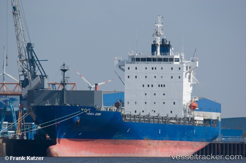
 CONTSHIP PEP II
Current Status
Where is the vessel?
CONTSHIP PEP II is currently in 35 nm NW of Scauri Alto, based on AIS data received less than 1h ago.
Latest AIS update:
Current position: 37.28489° N, 11.61838° E (35 nm NW of Scauri Alto)
Average speed (last 7 days): Loading…
Average speed (last 30 days): Loading…
Vessel profile: CONTSHIP PEP II is a Container Ship with dimensions m x m.
This page combines live AIS, route history, probable destination signals, nearby traffic, and port activity for practical vessel monitoring.
The current position of vessel CONTSHIP PEP II is 37.28489 lat / 11.61838 lng. Updated: 2026-04-18 19:22:02 UTCNearest reference points:
- 32 nm N of Qulaybiyah
- 13 nm N of Qulaybiyah
- Near MARSALA
Currently sailing under the flag of Liberia ![]()
Details:
Live Vessel CONTSHIP PEP II Analytics (details, animations, etc.)
Recent AIS points (UTC):
2026-04-18 14:03:12 UTC · 36.81118, 12.78161 · SOG 11.5 kn · COG 297°2026-04-18 16:22:32 UTC · 37.01472, 12.27559 · SOG 11.7 kn · COG 296°
2026-04-18 17:33:23 UTC · 37.12519, 12.01974 · SOG 12.1 kn · COG 305°
2026-04-18 19:22:02 UTC · 37.28489, 11.61838 · SOG 11.8 kn · COG 293°