 vesseltracker.com
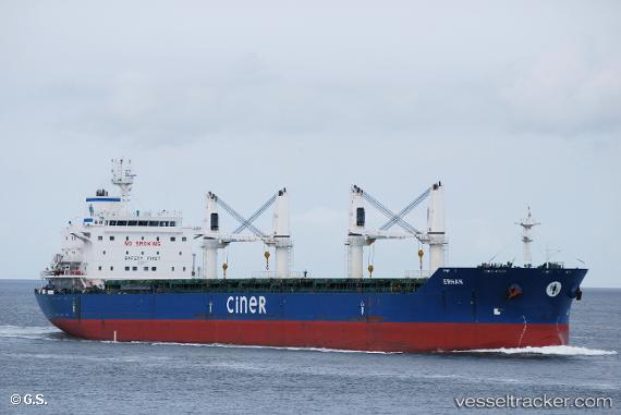
 BLUE HORIZON
Current Status
Where is the vessel?
BLUE HORIZON is currently in Near Nouakchott, based on AIS data received about 1h ago.
Latest AIS update:
Current position: 17.98699° N, 16.03056° W (Near Nouakchott)
Average speed (last 7 days): Loading…
Average speed (last 30 days): Loading…
Vessel profile: BLUE HORIZON is a Bulk Carrier with dimensions m x m.
This page combines live AIS, route history, probable destination signals, nearby traffic, and port activity for practical vessel monitoring.
The current position of vessel BLUE HORIZON is 17.98699 lat / -16.03056 lng. Updated: 2026-04-18 17:25:49 UTCNearest reference points:
- 90 nm W of Nouakchott
- 96 nm NW of Nouakchott
- 100 nm NW of Saint Louis
Currently sailing under the flag of Liberia ![]()
Details:
Live Vessel BLUE HORIZON Analytics (details, animations, etc.)
Recent AIS points (UTC):
2026-04-18 11:34:52 UTC · 17.98699, -16.03055 · SOG 0.3 kn · COG 90°2026-04-18 13:22:55 UTC · 17.98700, -16.03056 · SOG 0.1 kn · COG 90°
2026-04-18 15:22:53 UTC · 17.98698, -16.03056 · SOG 0 kn · COG 89°
2026-04-18 17:25:49 UTC · 17.98699, -16.03056 · SOG 0.2 kn · COG 89°