 vesseltracker.com
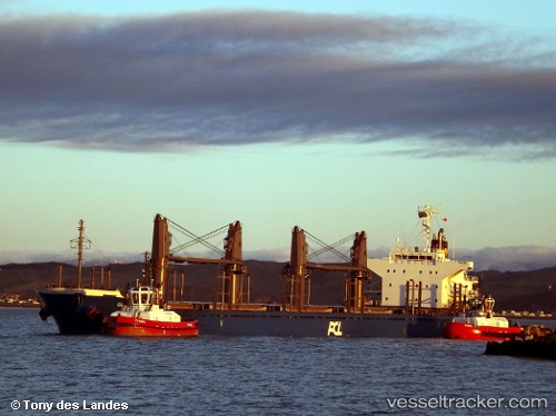
 AL MANHAL
Current Status
Where is the vessel?
AL MANHAL is currently in Near Jebel Ali Free Zone, based on AIS data received about 1h ago.
Latest AIS update:
Current position: 24.97867° N, 55.06292° E (Near Jebel Ali Free Zone)
Average speed (last 7 days): Loading…
Average speed (last 30 days): Loading…
Vessel profile: AL MANHAL is a Cargo with dimensions m x m.
This page combines live AIS, route history, probable destination signals, nearby traffic, and port activity for practical vessel monitoring.
The current position of vessel AL MANHAL is 24.97867 lat / 55.06292 lng. Updated: 2026-04-21 22:26:01 UTCNearest reference points:
- Near Jebel Ali Free Zone
- Near Jebel Ali
- Near DUBAI MARINA
Currently sailing under the flag of Liberia ![]()
Details:
Live Vessel AL MANHAL Analytics (details, animations, etc.)
Recent AIS points (UTC):
2026-04-21 19:52:53 UTC · 24.97865, 55.06290 · SOG 0.1 kn · COG 226°2026-04-21 19:55:53 UTC · 24.97866, 55.06289 · SOG 0.1 kn · COG 226°
2026-04-21 22:17:01 UTC · 24.97862, 55.06291 · SOG 0.1 kn · COG 226°
2026-04-21 22:26:01 UTC · 24.97867, 55.06292 · SOG 0 kn · COG 226°