 vesseltracker.com
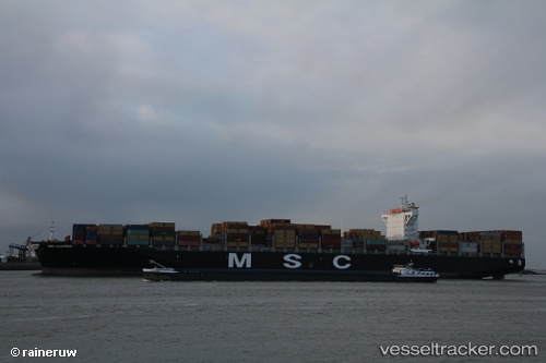
 EMERALD TOWER
Current Status
Where is the vessel?
EMERALD TOWER is currently in 33 nm S of Wukan, based on AIS data received about 1h ago.
Latest AIS update:
Current position: 22.31708° N, 115.82637° E (33 nm S of Wukan)
Average speed (last 7 days): Loading…
Average speed (last 30 days): Loading…
Vessel profile: EMERALD TOWER is a Container Ship with dimensions m x m.
This page combines live AIS, route history, probable destination signals, nearby traffic, and port activity for practical vessel monitoring.
The current position of vessel EMERALD TOWER is 22.31708 lat / 115.82637 lng. Updated: 2026-04-18 03:30:18 UTCNearest reference points:
- 16 nm S of Wukan
- Near Wukan
- 49 nm S of SHANWEI
Currently sailing under the flag of Liberia ![]()
Details:
Live Vessel EMERALD TOWER Analytics (details, animations, etc.)
Recent AIS points (UTC):
2026-04-17 21:25:08 UTC · 22.74383, 116.99908 · SOG 13.3 kn · COG 249°2026-04-17 23:33:57 UTC · 22.54644, 116.55791 · SOG 11.3 kn · COG 252°
2026-04-18 02:14:56 UTC · 22.39672, 116.05311 · SOG 10.7 kn · COG 255°
2026-04-18 03:30:18 UTC · 22.31708, 115.82637 · SOG 10.7 kn · COG 254°