 vesseltracker.com
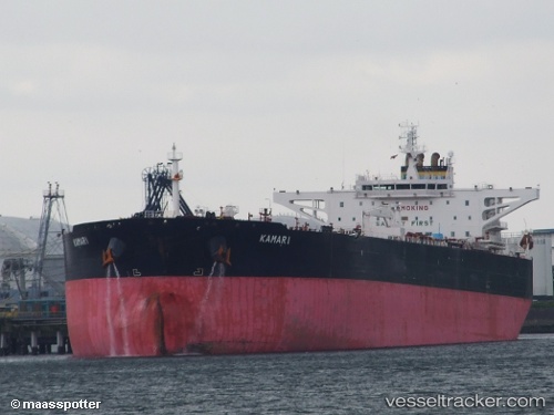
 MOTELE OLA
Current Status
Where is the vessel?
MOTELE OLA is currently in 373 nm SW of Veraval, based on AIS data received less than 1h ago.
Latest AIS update:
Current position: 17.05667° N, 65.19167° E (373 nm SW of Veraval)
Average speed (last 7 days): Loading…
Average speed (last 30 days): Loading…
Vessel profile: MOTELE OLA is a Crude Oil Tanker with dimensions m x m.
This page combines live AIS, route history, probable destination signals, nearby traffic, and port activity for practical vessel monitoring.
The current position of vessel MOTELE OLA is 17.05667 lat / 65.19167 lng. Updated: 2026-03-29 09:32:14 UTCNearest reference points:
- Open sea, approx. 401 nm off the nearest listed port
- Open sea, approx. 402 nm off the nearest listed port
- Open sea, approx. 403 nm off the nearest listed port
Currently sailing under the flag of Liberia ![]()
Details:
Live Vessel MOTELE OLA Analytics (details, animations, etc.)
Recent AIS points (UTC):
2026-03-29 03:26:20 UTC · 17.08333, 65.16333 · SOG 0 kn · COG -1°2026-03-29 05:05:18 UTC · 17.07333, 65.16500 · SOG 0 kn · COG -1°
2026-03-29 07:17:13 UTC · 17.06667, 65.17500 · SOG 0 kn · COG -1°
2026-03-29 09:32:14 UTC · 17.05667, 65.19167 · SOG 0 kn · COG -1°