 vesseltracker.com
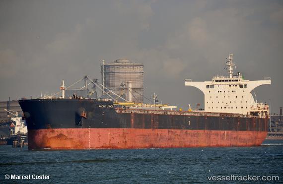
 ANTELAO
Current Status
Where is the vessel?
ANTELAO is currently in 152 nm E of Wenling Longmen Port, based on AIS data received less than 1h ago.
Latest AIS update:
Current position: 28.70703° N, 124.84153° E (152 nm E of Wenling Longmen Port)
Average speed (last 7 days): Loading…
Average speed (last 30 days): Loading…
Vessel profile: ANTELAO is a Cargo with dimensions m x m.
This page combines live AIS, route history, probable destination signals, nearby traffic, and port activity for practical vessel monitoring.
The current position of vessel ANTELAO is 28.70703 lat / 124.84153 lng. Updated: 2026-04-19 21:28:50 UTCNearest reference points:
- 129 nm SE of ZHOUSHAN
- 102 nm E of Wenling Longmen Port
- 107 nm E of Wenling Longmen Port
Currently sailing under the flag of Liberia ![]()
Details:
Live Vessel ANTELAO Analytics (details, animations, etc.)
Recent AIS points (UTC):
2026-04-19 17:56:31 UTC · 28.11127, 124.58254 · SOG 11.5 kn · COG 34°2026-04-19 18:30:00 UTC · 28.20222, 124.64136 · SOG 11 kn · COG 16°
2026-04-19 19:27:32 UTC · 28.36651, 124.71651 · SOG 10.9 kn · COG 14°
2026-04-19 21:28:50 UTC · 28.70703, 124.84153 · SOG 10.7 kn · COG 1°