 vesseltracker.com
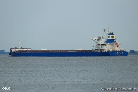
 SEA NOVA
Current Status
Where is the vessel?
SEA NOVA is currently in Near Tai-tung Kang, based on AIS data received less than 1h ago.
Latest AIS update:
Current position: 24.23841° N, 120.43273° E (Near Tai-tung Kang)
Average speed (last 7 days): Loading…
Average speed (last 30 days): Loading…
Vessel profile: SEA NOVA is a Cargo with dimensions m x m.
This page combines live AIS, route history, probable destination signals, nearby traffic, and port activity for practical vessel monitoring.
The current position of vessel SEA NOVA is 24.23841 lat / 120.43273 lng. Updated: 2026-04-21 22:42:03 UTCNearest reference points:
- Near Tai-tung Kang
- Near TAICHUNG
- Near Miao-li
Currently sailing under the flag of Liberia ![]()
Details:
Live Vessel SEA NOVA Analytics (details, animations, etc.)
Recent AIS points (UTC):
2026-04-21 19:45:01 UTC · 24.23811, 120.43216 · SOG 0 kn · COG 344°2026-04-21 20:21:01 UTC · 24.23807, 120.43193 · SOG 0.1 kn · COG 349°
2026-04-21 21:50:57 UTC · 24.23814, 120.43205 · SOG 0 kn · COG 345°
2026-04-21 22:42:03 UTC · 24.23841, 120.43273 · SOG 0 kn · COG 322°