 vesseltracker.com
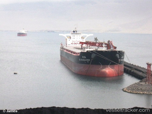
 OTSL THETIS
Current Status
Where is the vessel?
OTSL THETIS is currently in 121 nm SW of L'Étang-Salé, based on AIS data received less than 1h ago.
Latest AIS update:
Current position: 22.82290° S, 53.99468° E (121 nm SW of L'Étang-Salé)
Average speed (last 7 days): Loading…
Average speed (last 30 days): Loading…
Vessel profile: OTSL THETIS is a Bulk Carrier with dimensions m x m.
This page combines live AIS, route history, probable destination signals, nearby traffic, and port activity for practical vessel monitoring.
The current position of vessel OTSL THETIS is -22.82290 lat / 53.99468 lng. Updated: 2026-04-17 22:23:52 UTCNearest reference points:
- 209 nm E of Manakara
- 129 nm W of Al Azaiba
Currently sailing under the flag of Liberia ![]()
Details:
Live Vessel OTSL THETIS Analytics (details, animations, etc.)
Recent AIS points (UTC):
2026-04-17 16:05:42 UTC · -23.26585, 53.19343 · SOG 8.3 kn · COG 55°2026-04-17 17:51:41 UTC · -23.14374, 53.42369 · SOG 8.1 kn · COG 59°
2026-04-17 19:43:52 UTC · -23.00896, 53.65622 · SOG 8 kn · COG 59°
2026-04-17 22:23:52 UTC · -22.82290, 53.99468 · SOG 8 kn · COG 65°