 vesseltracker.com
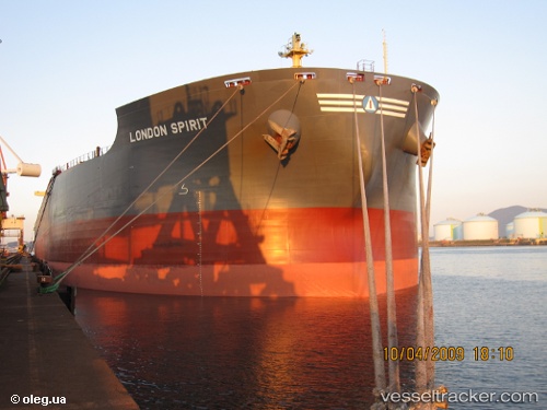
 SUNNY KOGON
Current Status
Where is the vessel?
SUNNY KOGON is currently in 349 nm W of Diego Garcia, based on AIS data received about 1d ago.
Latest AIS update:
Current position: 7.82368° S, 66.63242° E (349 nm W of Diego Garcia)
Average speed (last 7 days): Loading…
Average speed (last 30 days): Loading…
Vessel profile: SUNNY KOGON is a Bulk Carrier with dimensions m x m.
This page combines live AIS, route history, probable destination signals, nearby traffic, and port activity for practical vessel monitoring.
The current position of vessel SUNNY KOGON is -7.82368 lat / 66.63242 lng. Updated: 2026-04-10 07:09:00 UTCNearest reference points:
- Open sea, approx. 401 nm off the nearest listed port
- Open sea, approx. 402 nm off the nearest listed port
- Open sea, approx. 406 nm off the nearest listed port
Currently sailing under the flag of Liberia ![]()
Details:
Live Vessel SUNNY KOGON Analytics (details, animations, etc.)
Recent AIS points (UTC):
2026-04-10 01:50:30 UTC · -8.41585, 65.98002 · SOG 9.5 kn · COG 48°2026-04-10 03:34:50 UTC · -8.22925, 66.19468 · SOG 9.8 kn · COG 44°
2026-04-10 05:55:25 UTC · -7.96147, 66.48090 · SOG 9.8 kn · COG 46°
2026-04-10 07:09:00 UTC · -7.82368, 66.63242 · SOG 9.7 kn · COG 44°