 vesseltracker.com
 EVDILOS
Current Status
Where is the vessel?
EVDILOS is currently in 196 nm NW of Sandys, based on AIS data received about 2h ago.
Latest AIS update:
Current position: 34.80869° N, 67.36116° W (196 nm NW of Sandys)
Average speed (last 7 days): Loading…
Average speed (last 30 days): Loading…
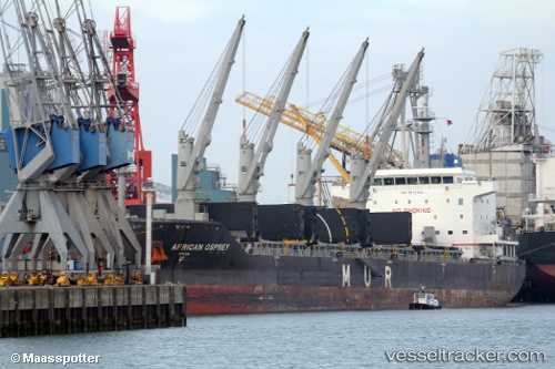
Vessel profile: EVDILOS is a Bulk Carrier with dimensions m x m.
This page combines live AIS, route history, probable destination signals, nearby traffic, and port activity for practical vessel monitoring.
The current position of vessel EVDILOS is 34.80869 lat / -67.36116 lng. Updated: 2026-04-17 05:49:30 UTCNearest reference points:
- 169 nm NE of Ben Slimane
- 160 nm W of Sandys
Currently sailing under the flag of Liberia ![]()
Details:
Live Vessel EVDILOS Analytics (details, animations, etc.)
Recent AIS points (UTC):
2026-04-16 23:37:32 UTC · 34.09066, -68.47526 · SOG 11.1 kn · COG -1°2026-04-17 01:12:40 UTC · 34.28534, -68.20588 · SOG 10.8 kn · COG -1°
2026-04-17 03:25:58 UTC · 34.54149, -67.81444 · SOG 11.3 kn · COG 56°
2026-04-17 05:49:30 UTC · 34.80869, -67.36116 · SOG 11.2 kn · COG 51°