 vesseltracker.com
 NANAMI BRIGHT
Current Status
Where is the vessel?
NANAMI BRIGHT is currently in 32 nm SW of Stilbaai, based on AIS data received less than 1h ago.
Latest AIS update:
Current position: 34.83862° S, 21.13596° E (32 nm SW of Stilbaai)
Average speed (last 7 days): Loading…
Average speed (last 30 days): Loading…
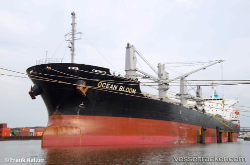
Vessel profile: NANAMI BRIGHT is a Bulk Carrier with dimensions m x m.
This page combines live AIS, route history, probable destination signals, nearby traffic, and port activity for practical vessel monitoring.
The current position of vessel NANAMI BRIGHT is -34.83862 lat / 21.13596 lng. Updated: 2026-04-08 10:14:05 UTCNearest reference points:
- 37 nm S of Mosselbaai
- 16 nm S of Mosselbaai
- Near Mosselbaai
Currently sailing under the flag of Liberia ![]()
Details:
Live Vessel NANAMI BRIGHT Analytics (details, animations, etc.)
Recent AIS points (UTC):
2026-04-08 03:25:24 UTC · -34.62679, 22.61293 · SOG 11.1 kn · COG 262°2026-04-08 05:49:54 UTC · -34.70119, 22.08919 · SOG 10.7 kn · COG 264°
2026-04-08 08:14:15 UTC · -34.78859, 21.57529 · SOG 11.1 kn · COG 264°
2026-04-08 10:14:05 UTC · -34.83862, 21.13596 · SOG 11 kn · COG 261°