 vesseltracker.com
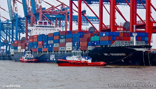
 ANL WAIKATO
Current Status
Where is the vessel?
ANL WAIKATO is currently in Near Tauranga, based on AIS data received about 1h ago.
Latest AIS update:
Current position: 37.47882° S, 176.34053° E (Near Tauranga)
Average speed (last 7 days): Loading…
Average speed (last 30 days): Loading…
Vessel profile: ANL WAIKATO is a Container Ship with dimensions m x m.
This page combines live AIS, route history, probable destination signals, nearby traffic, and port activity for practical vessel monitoring.
The current position of vessel ANL WAIKATO is -37.47882 lat / 176.34053 lng. Updated: 2026-04-18 19:29:20 UTCNearest reference points:
- Near WHITIANGA
- Near Matiatia Bay
- Near ORAKEI
Currently sailing under the flag of Liberia ![]()
Details:
Live Vessel ANL WAIKATO Analytics (details, animations, etc.)
Recent AIS points (UTC):
2026-04-18 13:24:37 UTC · -37.38033, 177.64919 · SOG 10.4 kn · COG 280°2026-04-18 15:36:37 UTC · -37.36349, 177.18636 · SOG 10.1 kn · COG 279°
2026-04-18 17:49:46 UTC · -37.41605, 176.71101 · SOG 11 kn · COG 264°
2026-04-18 19:29:20 UTC · -37.47882, 176.34053 · SOG 10.5 kn · COG 269°