 vesseltracker.com
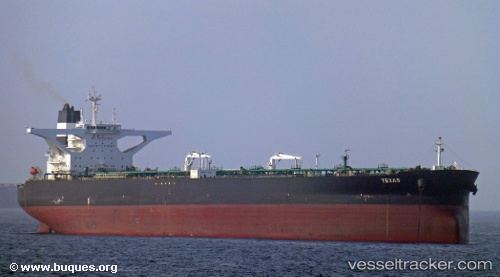
 ANGOLA B
Current Status
Where is the vessel?
ANGOLA B is currently in 29 nm E of Qurayyat, based on AIS data received about 1d ago.
Latest AIS update:
Current position: 23.24500° N, 59.41333° E (29 nm E of Qurayyat)
Average speed (last 7 days): Loading…
Average speed (last 30 days): Loading…
Vessel profile: ANGOLA B is a Crude Oil Tanker with dimensions m x m.
This page combines live AIS, route history, probable destination signals, nearby traffic, and port activity for practical vessel monitoring.
The current position of vessel ANGOLA B is 23.24500 lat / 59.41333 lng. Updated: 2026-04-10 07:02:08 UTCNearest reference points:
- 23 nm NE of Qalhat
- 52 nm NE of SUR
- 59 nm S of Chah Bahar
Currently sailing under the flag of Liberia ![]()
Details:
Live Vessel ANGOLA B Analytics (details, animations, etc.)
Recent AIS points (UTC):
2026-04-10 01:51:29 UTC · 22.51346, 60.29528 · SOG 13.2 kn · COG 320°2026-04-10 03:57:44 UTC · 22.85572, 59.93597 · SOG 13.6 kn · COG 306°
2026-04-10 06:18:05 UTC · 23.15542, 59.53160 · SOG 11.3 kn · COG 310°
2026-04-10 07:02:08 UTC · 23.24500, 59.41333 · SOG 11 kn · COG -1°