 vesseltracker.com
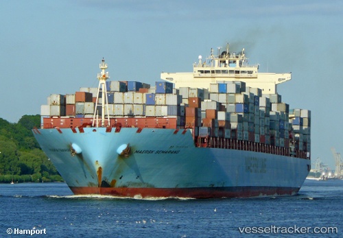
 LUANDA EXPRESS
Current Status
Where is the vessel?
LUANDA EXPRESS is currently in 293 nm SE of Xai-Xai, based on AIS data received less than 1h ago.
Latest AIS update:
Current position: 28.35667° S, 37.67333° E (293 nm SE of Xai-Xai)
Average speed (last 7 days): Loading…
Average speed (last 30 days): Loading…
Vessel profile: LUANDA EXPRESS is a Container Ship with dimensions 332m x 332m.
This page combines live AIS, route history, probable destination signals, nearby traffic, and port activity for practical vessel monitoring.
The current position of vessel LUANDA EXPRESS is -28.35667 lat / 37.67333 lng. Updated: 2026-04-08 08:06:47 UTCNearest reference points:
- 358 nm E of Richards Bay
- 162 nm SE of Xai-Xai
- Open sea, approx. 401 nm off the nearest listed port
Currently sailing under the flag of Liberia ![]()
LUANDA EXPRESS built in 2007 year
Deadweight:
108447 tDetails:
Live Vessel LUANDA EXPRESS Analytics (details, animations, etc.)
Recent AIS points (UTC):
2026-04-08 01:37:03 UTC · -28.90513, 35.70580 · SOG 16.5 kn · COG 75°2026-04-08 03:24:47 UTC · -28.76167, 36.24167 · SOG 16 kn · COG -1°
2026-04-08 05:47:49 UTC · -28.56256, 36.96460 · SOG 17.2 kn · COG 75°
2026-04-08 08:06:47 UTC · -28.35667, 37.67333 · SOG 16 kn · COG -1°