 vesseltracker.com
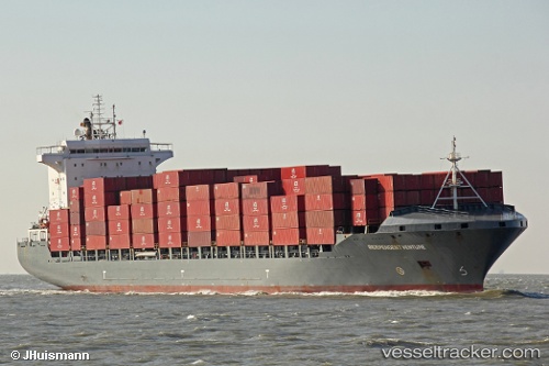
 ARTEMIS
Current Status
Where is the vessel?
ARTEMIS is currently in 111 nm SE of Swan Island, based on AIS data received about 1h ago.
Latest AIS update:
Current position: 16.48296° N, 82.27283° W (111 nm SE of Swan Island)
Average speed (last 7 days): Loading…
Average speed (last 30 days): Loading…
Vessel profile: ARTEMIS is a Container Ship with dimensions 30m x 209m.
This page combines live AIS, route history, probable destination signals, nearby traffic, and port activity for practical vessel monitoring.
The current position of vessel ARTEMIS is 16.48296 lat / -82.27283 lng. Updated: 2026-04-17 17:30:36 UTCCurrently sailing under the flag of Liberia ![]()
ARTEMIS built in 2008 year
Deadweight:
34438 tDetails:
Live Vessel ARTEMIS Analytics (details, animations, etc.)
Recent AIS points (UTC):
2026-04-17 07:33:27 UTC · 18.33124, -83.29681 · SOG 12.7 kn · COG 149°2026-04-17 07:33:27 UTC · 18.33124, -83.29681 · SOG 12.7 kn · COG 149°
2026-04-17 07:33:27 UTC · 18.33124, -83.29681 · SOG 12.7 kn · COG 149°
2026-04-17 17:30:36 UTC · 16.48296, -82.27283 · SOG 13.3 kn · COG 145°