 vesseltracker.com
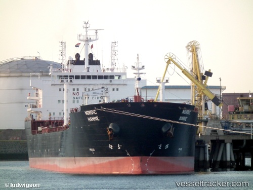
 NORDIC TATIANA
Current Status
Where is the vessel?
NORDIC TATIANA is currently in Near MAASVLAKTE - ROTTERDAM, based on AIS data received about 6d ago.
Latest AIS update:
Current position: 51.96638° N, 4.04745° E (Near MAASVLAKTE - ROTTERDAM)
Average speed (last 7 days): Loading…
Average speed (last 30 days): Loading…
Vessel profile: NORDIC TATIANA is a Chemical/Oil Products Tanker with dimensions 183m x 28m.
This page combines live AIS, route history, probable destination signals, nearby traffic, and port activity for practical vessel monitoring.
The current position of vessel NORDIC TATIANA is 51.96638 lat / 4.04745 lng. Updated: 2026-04-15 17:13:00 UTCNearest reference points:
- Near MAASVLAKTE - ROTTERDAM
- Near HOEK VAN HOLLAND
- Near Haarlemmermeer
Currently sailing under the flag of Liberia ![]()
NORDIC TATIANA built in 2007 year
Deadweight:
38396 tDetails:
Live Vessel NORDIC TATIANA Analytics (details, animations, etc.)
Recent AIS points (UTC):
2026-04-15 17:13:00 UTC · 51.96638, 4.04745 · SOG 0 kn · COG -1°2026-04-15 17:13:00 UTC · 51.96638, 4.04745 · SOG 0 kn · COG -1°
2026-04-15 17:13:00 UTC · 51.96638, 4.04745 · SOG 0 kn · COG -1°