 vesseltracker.com
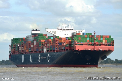
 AL DHAIL
Current Status
Where is the vessel?
AL DHAIL is currently in 99 nm NE of Dai Hung (Tandem Load), based on AIS data received about 1h ago.
Latest AIS update:
Current position: 9.32121° N, 110.11449° E (99 nm NE of Dai Hung (Tandem Load))
Average speed (last 7 days): Loading…
Average speed (last 30 days): Loading…
Vessel profile: AL DHAIL is a Cargo A with dimensions m x m.
This page combines live AIS, route history, probable destination signals, nearby traffic, and port activity for practical vessel monitoring.
The current position of vessel AL DHAIL is 9.32121 lat / 110.11449 lng. Updated: 2026-04-19 02:12:36 UTCNearest reference points:
- 156 nm SE of Phan Rang-Tháp Chàm
- Near Rang Dong
- 30 nm SW of Dai Hung (Tandem Load)
Currently sailing under the flag of Liberia ![]()
Details:
Live Vessel AL DHAIL Analytics (details, animations, etc.)
Recent AIS points (UTC):
2026-04-18 20:07:04 UTC · 7.93107, 108.99857 · SOG 17.3 kn · COG -1°2026-04-18 22:18:58 UTC · 8.43033, 109.40045 · SOG 17.2 kn · COG 37°
2026-04-18 23:49:52 UTC · 8.78564, 109.66033 · SOG 17.3 kn · COG 41°
2026-04-19 02:12:36 UTC · 9.32121, 110.11449 · SOG 17.5 kn · COG -1°