 vesseltracker.com
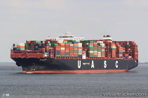
 SALAHUDDIN
Current Status
Where is the vessel?
SALAHUDDIN is currently in 16 nm NE of Porto Di Brindisi, based on AIS data received less than 1h ago.
Latest AIS update:
Current position: 40.86374° N, 18.15835° E (16 nm NE of Porto Di Brindisi)
Average speed (last 7 days): Loading…
Average speed (last 30 days): Loading…
Vessel profile: SALAHUDDIN is a Cargo A with dimensions m x m.
This page combines live AIS, route history, probable destination signals, nearby traffic, and port activity for practical vessel monitoring.
The current position of vessel SALAHUDDIN is 40.86374 lat / 18.15835 lng. Updated: 2026-03-30 12:14:55 UTCNearest reference points:
- Near Porto Di Brindisi
- Near Monopoli
- 22 nm W of Fier
Currently sailing under the flag of Liberia ![]()
Details:
Live Vessel SALAHUDDIN Analytics (details, animations, etc.)
Recent AIS points (UTC):
2026-03-30 05:22:03 UTC · 41.93821, 16.54258 · SOG 13 kn · COG 126°2026-03-30 08:00:44 UTC · 41.51649, 17.27506 · SOG 13 kn · COG 130°
2026-03-30 10:00:05 UTC · 41.22274, 17.69843 · SOG 13.1 kn · COG 136°
2026-03-30 12:14:55 UTC · 40.86374, 18.15835 · SOG 13.3 kn · COG 136°