 vesseltracker.com
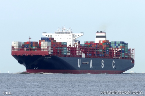
 AL MURABBA
Current Status
Where is the vessel?
AL MURABBA is currently in 363 nm NE of Levelwood, based on AIS data received less than 1h ago.
Latest AIS update:
Current position: 9.70237° S, 2.98110° W (363 nm NE of Levelwood)
Average speed (last 7 days): Loading…
Average speed (last 30 days): Loading…
Vessel profile: AL MURABBA is a Cargo A with dimensions m x m.
This page combines live AIS, route history, probable destination signals, nearby traffic, and port activity for practical vessel monitoring.
The current position of vessel AL MURABBA is -9.70237 lat / -2.98110 lng. Updated: 2026-04-01 01:24:14 UTCNearest reference points:
- Open sea, approx. 403 nm off the nearest listed port
- Open sea, approx. 404 nm off the nearest listed port
- Open sea, approx. 401 nm off the nearest listed port
Currently sailing under the flag of Liberia ![]()
Details:
Live Vessel AL MURABBA Analytics (details, animations, etc.)
Recent AIS points (UTC):
2026-03-31 19:49:57 UTC · -11.07350, -2.00550 · SOG 18 kn · COG 325°2026-03-31 21:38:39 UTC · -10.63003, -2.32906 · SOG 17.8 kn · COG 325°
2026-03-31 23:38:47 UTC · -10.13590, -2.67306 · SOG 18.1 kn · COG 324°
2026-04-01 01:24:14 UTC · -9.70237, -2.98110 · SOG 17.9 kn · COG 325°